Northwest Pine Grove Beach Area
Room to spread out, great value
The quick answer
Northwest Pine Grove Beach Area is a neighborhood, part of Mason County Central Schools. Homes here typically sell for around $230,000.
15 homes for sale·Median $230K·Walkability 0.9/10·Schools 4.0/10
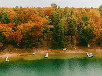
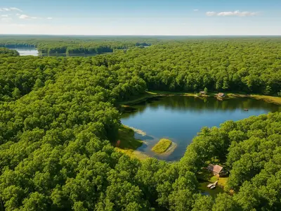
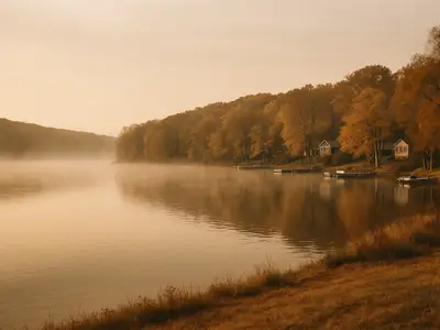
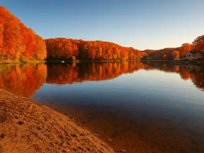
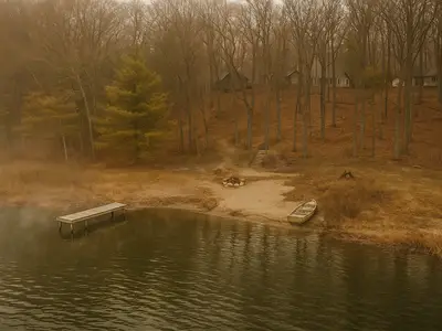
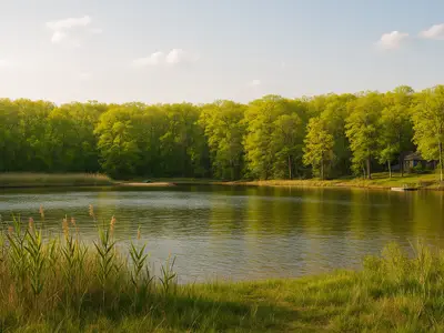
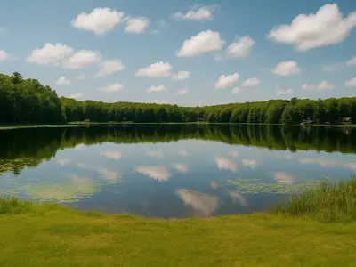
You're looking at a sprawling woodland stretch where the trees seem to run forever and the nearest water—Lake Michigan itself—sits right at the edge. This is serious land territory: average lots here stretch across 26 acres, the kind of space where you're actually removed from the road and living in the woods rather than just near them. Cabins and homes scattered across the area tend toward the rustic getaway type—log-sided, wood stove-heated places built for year-round use or seasonal escape—and many have direct access to smaller lakes tucked throughout the region, perfect for fishing, swimming, or launching a canoe. The Manistee National Forest–White Cloud Unit sits adjacent, which means trails, ORV routes, and recreational land open up in every direction. Life out here revolves around what the landscape offers: wooded privacy, water access, and room to breathe.
Be first when a home lists in Northwest Pine Grove Beach Area
New listings and price drops in Northwest Pine Grove Beach Area, emailed the moment they hit the market. No account needed, unsubscribe anytime.
Why people love it here
13.3 acre avg lots
- 1,367 homes
$230K median
- 24 sales in last 12mo
Conventional Mortgage Calculator
Median home price in Northwest Pine Grove Beach Area
Estimated Monthly Payment
$1,561/mo
Property tax and insurance are estimates you can edit — not a quote. Tap either figure to enter your own.

The interest rate shown is not an annual percentage rate (APR). Rate displayed is the current average 30-year fixed rate from the Freddie Mac Primary Mortgage Market Survey and is subject to change without notice. Your actual rate, payment, and costs may vary. Contact a loan officer for a personalized quote.
Guild Mortgage NMLS #3274. Equal Housing Opportunity. NMLS Consumer Access. Not a commitment to lend. All loans subject to underwriter approval; terms and conditions may apply. Subject to change without notice. Always consult an accountant or tax advisor for full eligibility requirements on tax deduction.
24 homes sold in Northwest Pine Grove Beach Area this year. Thinking of selling?
See what your home is worthMedian Sale Price
$230K
24 sales in last 12mo
Parks Nearby
0
within 1 mile
Nearest Park
Reed Lake Boating Access Site
1.5 mi
Expected Rent
$775/mo
$675 – $875 · wider-area estimate
Based on 4 rated schools nearby
Range: 3/10 to 5/10
School District: Mason County Central Schools
Walkability
Car-dependent
Overall walkability score out of 10
Based on actual walk/bike/drive times to nearby amenities via Mapbox
Orchard Lake
To buy a median-priced Northwest Pine Grove Beach Area home (around $230,000) at today's 7.28% 30-year fixed rate with 20% down, you'd need roughly $43k/year in household income to qualify — an estimated monthly payment of $1,627 (principal, interest, property tax est., and insurance).
| Down payment | Monthly payment | Income needed |
|---|---|---|
| 20% | $1,627/mo | $43,385 |
| 10% (+PMI) | $1,871/mo | $49,882 |
| 5% (+PMI) | $1,954/mo | $52,108 |
Estimates use a 7.28% 30-year fixed rate (current Freddie Mac average), an aggressive ~45% housing-to-income ratio (roughly what FHA underwriting can allow for a buyer with no other monthly debts — your number depends on your debts and credit), this area's median sale price, plus estimated insurance and PMI below 20% down. Not a commitment to lend, and not an APR — your actual rate and payment will vary.
Land for sale
Listings
5 parcels
Active / pending
Median Price
$25K
Per listing
Solar potential
~$894/yr in electricity from a typical rooftop solar system
Produces ~6,256 kWh/yr · offsets ~60% of a typical home's use
Utility, solar, and service details for Northwest Pine Grove Beach Area are compiled from public records, municipal sites, and NREL / U.S. data.gov, and can change. Electric/gas can vary by address — confirm with the provider before relying on them.
Flood Risk
None
Not in flood zone
Nearest Park
Reed Lake Boating Access Site
1.5 mi
Parks Nearby
0
within 1 mile
Grand Rapids Real Estate Co.
Local real estate specialists
Questions about Northwest Pine Grove Beach Area? Our team can help with availability, schools, and what it's really like to live here.
Living in Northwest Pine Grove Beach Area: the details
Is Northwest Pine Grove Beach Area a good place to live?
If you're after room to spread out on larger lots, Northwest Pine Grove Beach Area is worth a close look — here is what the data shows. When it comes to errands, it is mostly a drive-first area, so you will use a car for groceries, dining and errands. This neighborhood is part of Mason County Central Schools. Expect prices centered around $230,000.
What does it cost to live in Northwest Pine Grove Beach Area?
The typical home in Northwest Pine Grove Beach Area goes for around $230,000. There are 15 homes for sale here right now and 24 homes sold here in the past year.
Frequently asked about Northwest Pine Grove Beach Area
- What do homes cost in Northwest Pine Grove Beach Area?
- The median home value in Northwest Pine Grove Beach Area is about $230,000. Individual prices vary by street, size, and condition.
- How active is the Northwest Pine Grove Beach Area housing market?
- there are 15 homes for sale in Northwest Pine Grove Beach Area right now, and 24 homes sold here in the last 12 months. Listings refresh throughout the day from the MichRIC MLS.
- What schools serve Northwest Pine Grove Beach Area?
- Northwest Pine Grove Beach Area is served by Mason County Central Schools. Its highest-rated assigned school is Mason County Central HS (5/10).
- Is Northwest Pine Grove Beach Area walkable?
- Northwest Pine Grove Beach Area scores 0.9/10 for walkability — a measure of walking, biking, and driving access to groceries, dining, parks, schools, and transit.